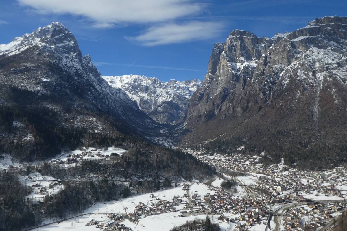
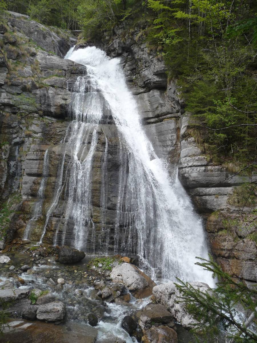
4 Mezzavalle (776 m a.s.l.): The deepest part of the valley
At an altitude of 776 metres above sea level, Mezzavalle is situated at the bottom of the narrowest and deepest glacial valley on the planet, almost 2100 metres lower than Mount Agnèr (2872 m). Recognised as the greatest U-shaped valley, it descends from Mount Agnèr right to the valley’s floor, only to rise up again to the top of the Terza Pala di San Lucano.
There exist bigger glacial valleys all over the world but because of their width, the U-shape, so typical for the glacial valleys, is almost unrecognisable; there are even narrower valleys, however, too small and less deep.
Seismic surveys conducted in the area using ultrasound to help scientists better understand the deeper structure of the Earth, have allowed us to rebuild the development of the rocky substrate buried underneath. The results reveal that the rock is located 200 metres deeper than the ground level, meaning that the U-shape is even more profound than previously thought.
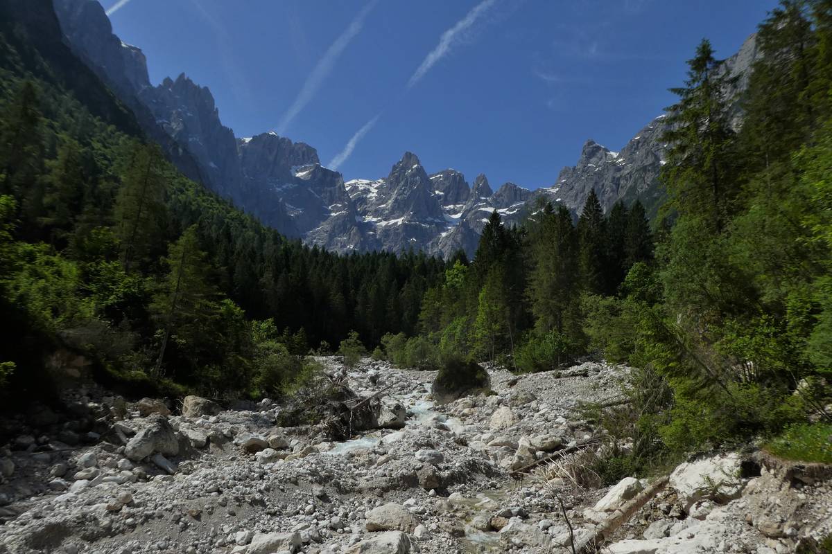
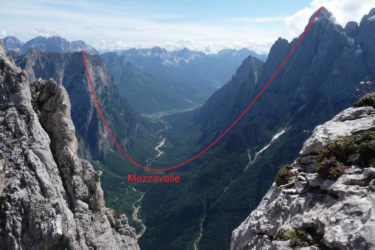 Part of the San Lucano Valley passing through Mezzavalle (775 m asl) between Terza Pala (2354 metres above sea level) and Mount Agnèr (2872 metres above sea level) through “el Cor” in Pale del Balcon (photo DG).
")
")
")