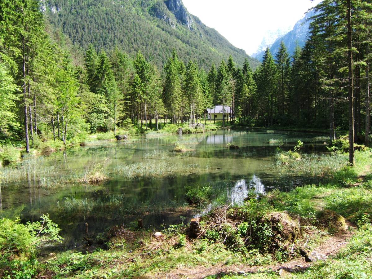
The Fishponds (715 m a.s.l.): The Peschiere pond, stadial moraine banks
The Fishponds are fed by spring waters and are nestled in a tiny basin within a larger morainic structure which was developed after the retreat of the Würmian glaciers. The pond was recently demolished by the storm Vaia. During the Last Glacial Maximum (LGM) approximately 20000 years ago, the glaciers spread over the entire Dolomite region and reached an altitude of more than 1500 metres in the Agordo Basin. Generally speaking, deglaciation was a rapid process, interspersed with periods of either deceleration, or mild progressions, known as late glacial stages. Various frontal morainic banks originating from the oldest of these stages (known as Bühl according to the old geomorphological nomenclature) can be distinguished in the area between Le Pescherie and Le Torre. These morainic banks were formed by the glacier originating from the San Lucano Valley during its retreat through the valley’s interior.
 Il laghetto delle Peschiere (before the storm Vaia)
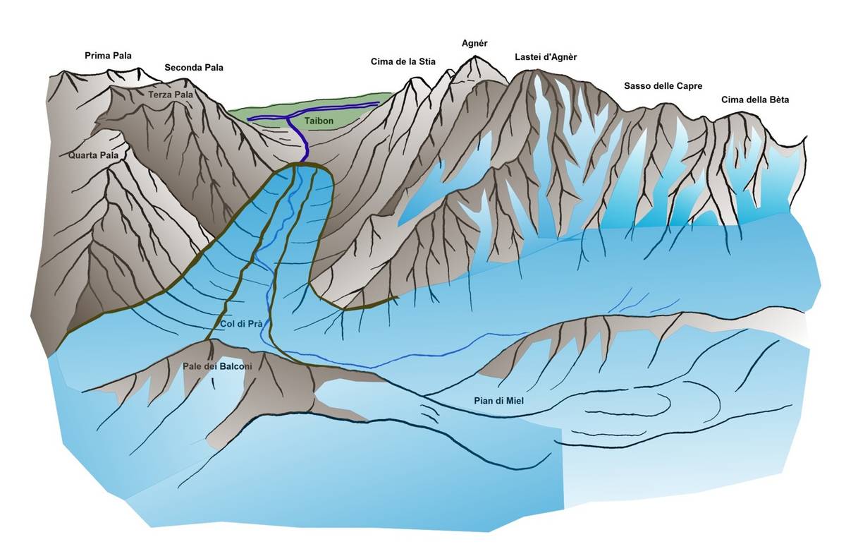
 A possible reproduction of the glacier in the San Lucano Valley during the first late glacial stage as it built the frontal morainic embankments where the Peschiere pond is located (illustration by DG).
Download
 |
Download the full content of the information panel number 2 (pdf format) |


