")
")
")

The Dolomia Way - The journey of the rock in the Dolomite Alps
The "Follador-De Rossi" Institute of Higher Education in Agordo (BL) is the project leader of the project "DOLOMIA. The Dolomite Way: the journey of the rock in the Dolomite Alps - ITAT 2036", financed under the second Interreg notice VA Italy-Austria 2014-2020.
All the data of the Dolomia project have been geo-referenced and also included in Open Alp Maps, the geo-tourist database of the Agordo's Dolomites.
A map dedicated exclusively to the Dolomia project was also created.
 Outcrops
 Landslides
 Geosites
 Limekilns
 Stone quarries
 Mines
Mines Contemporary buildings
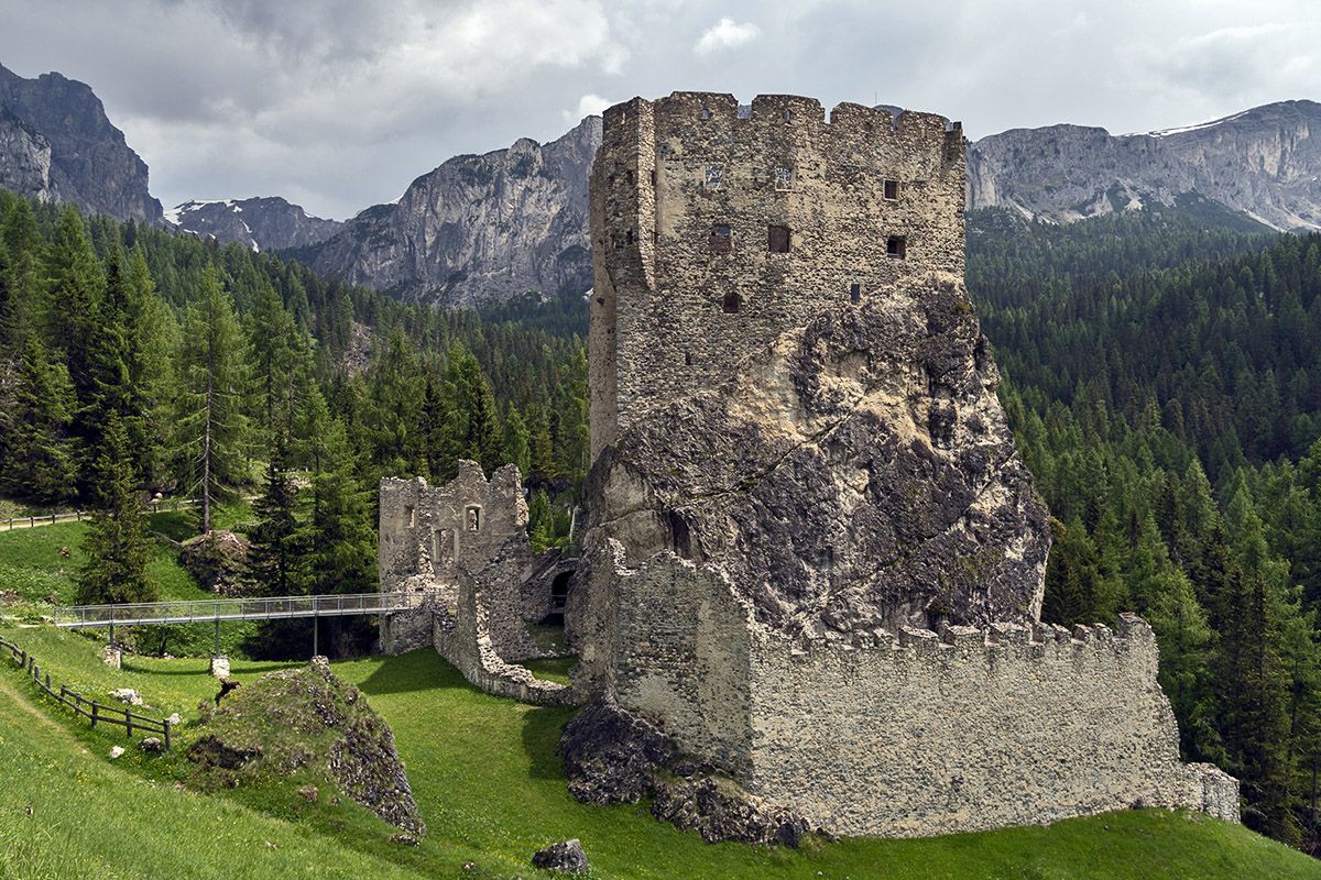
 Archaeological sites
 Castles and fortresses
 Churches and steeples
 Historical centres
 Monuments
 Fountains
 Museums
 Boundary stones
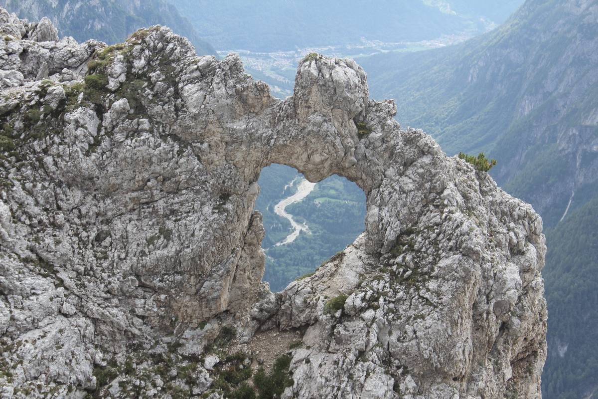
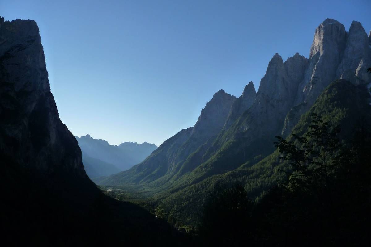
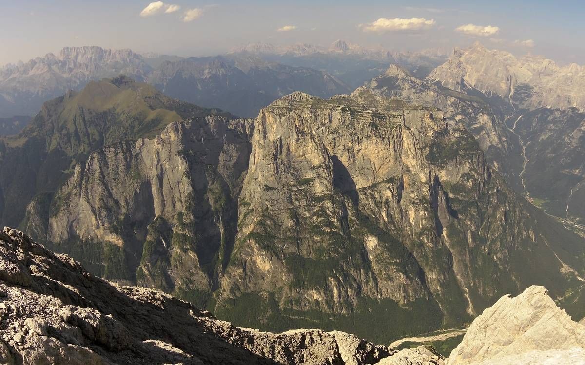
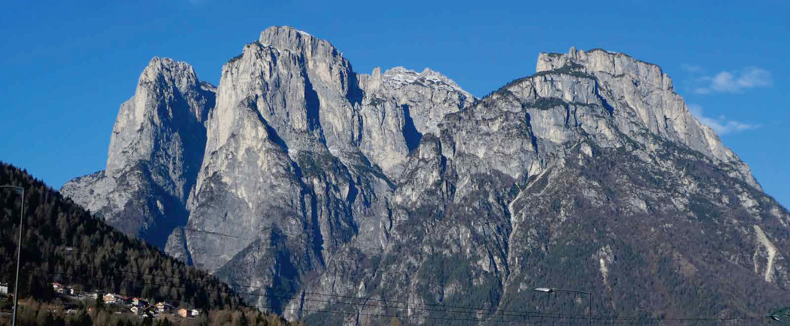
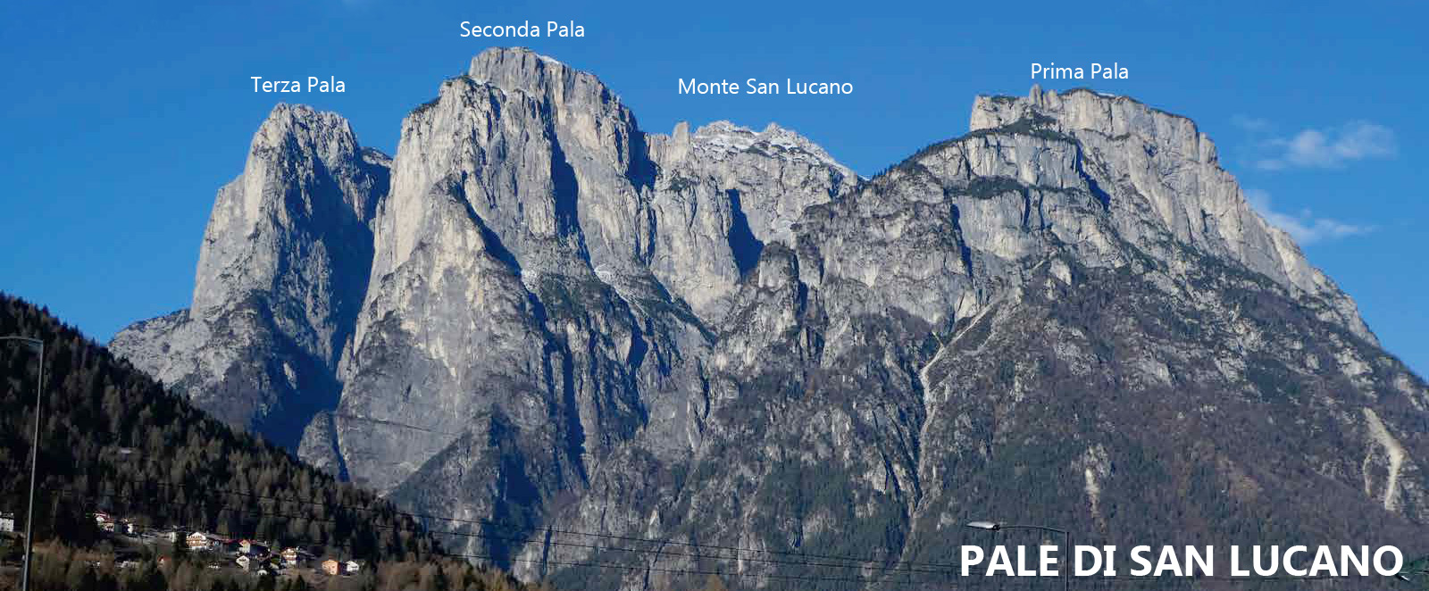
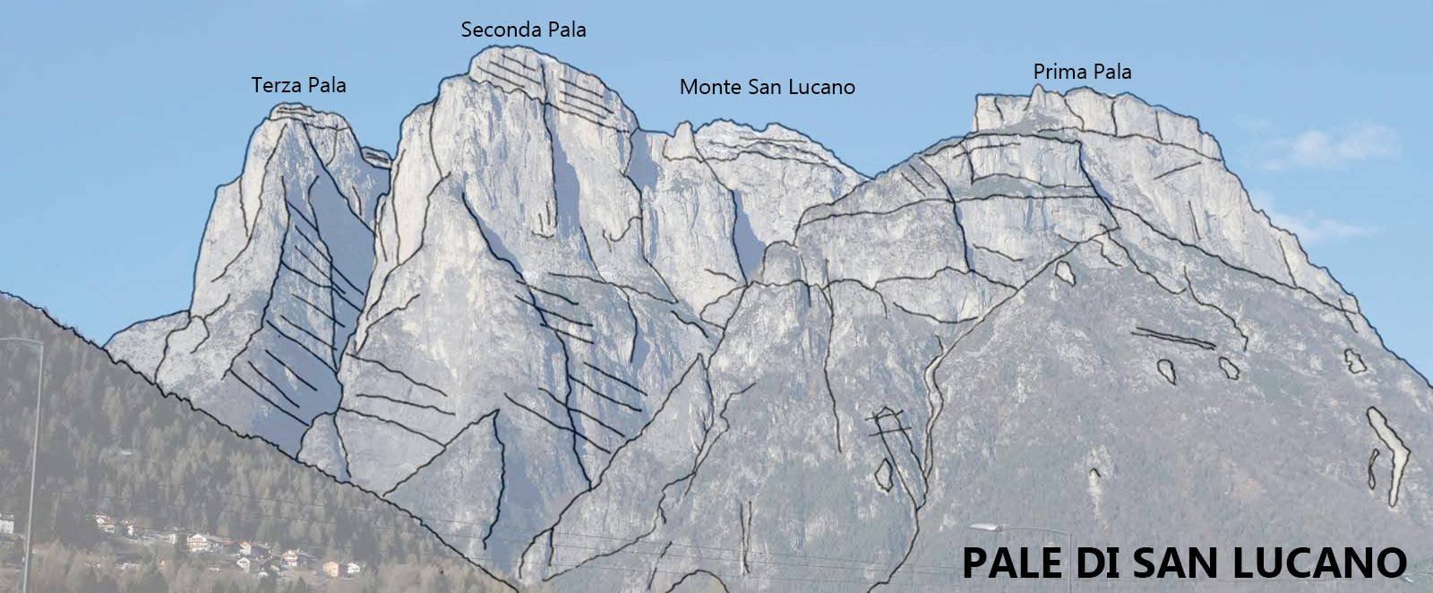
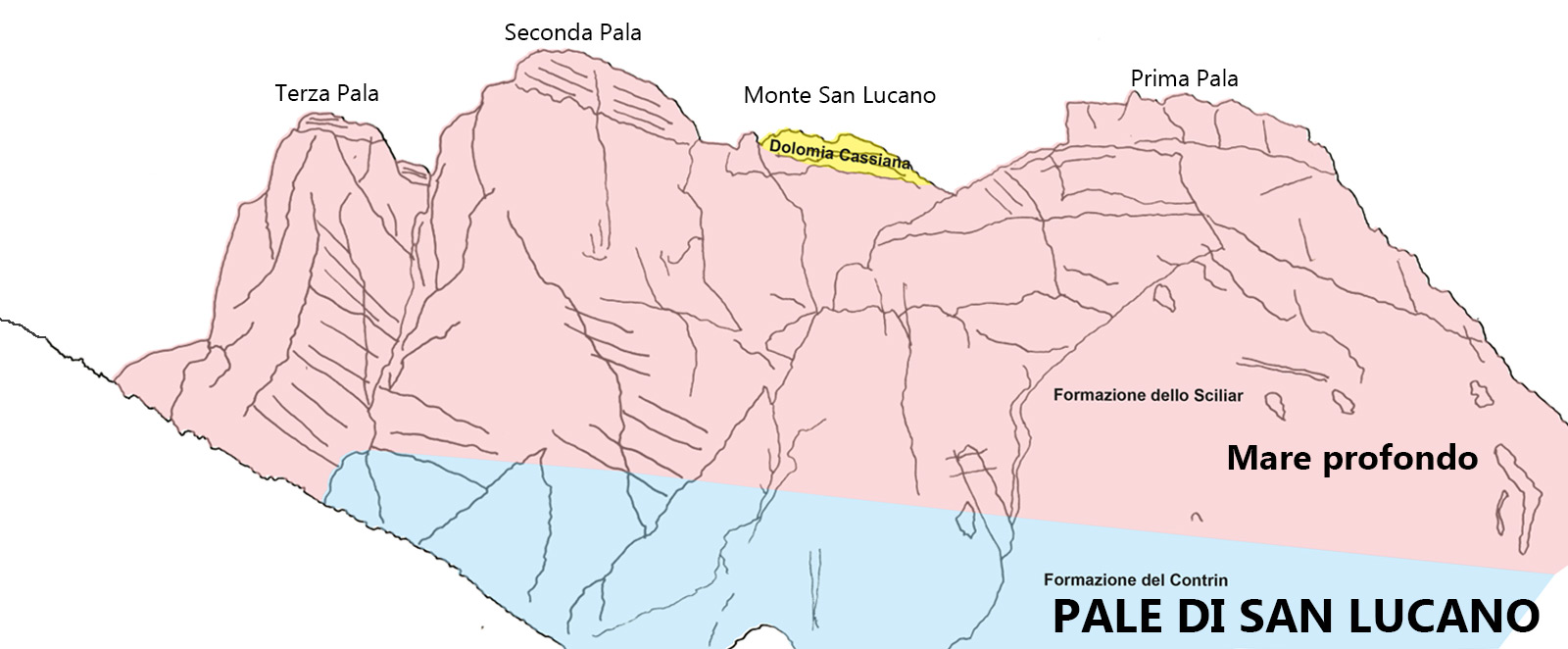
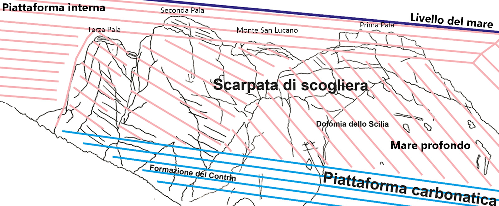
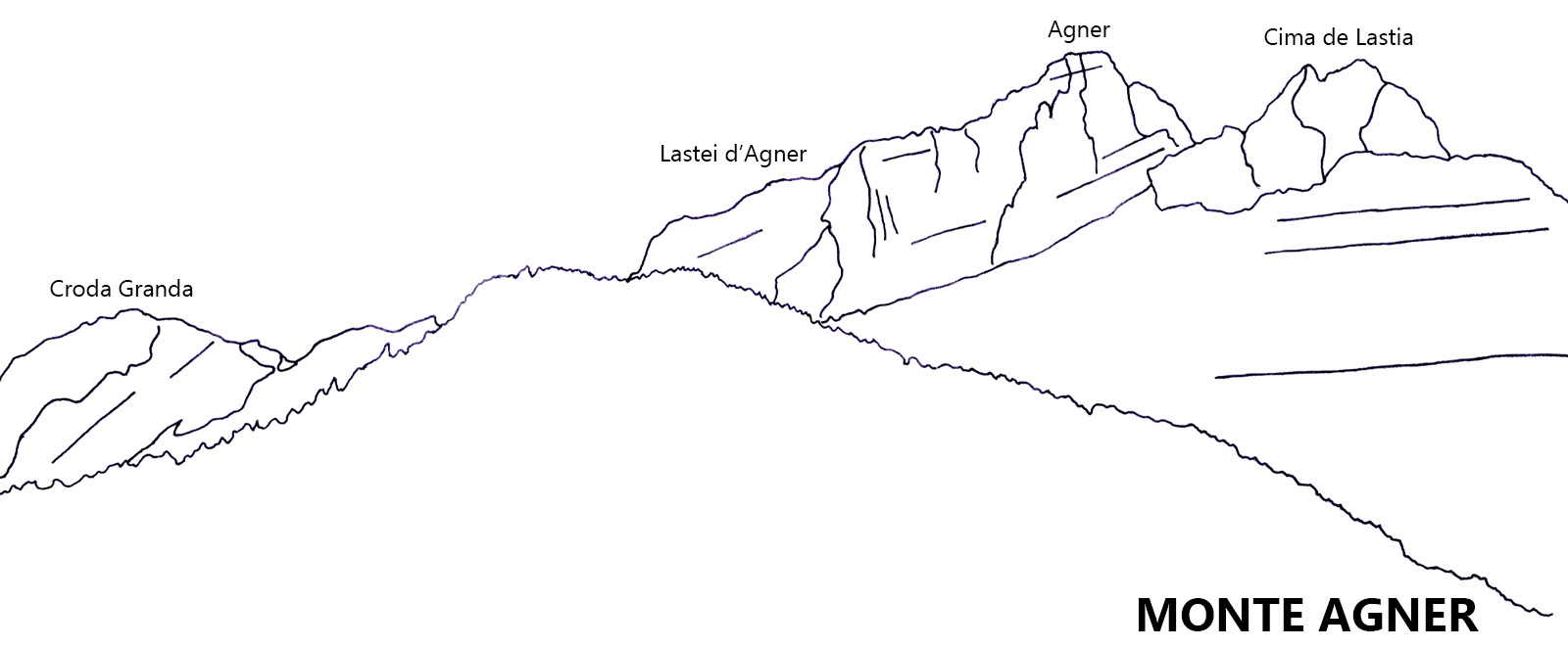
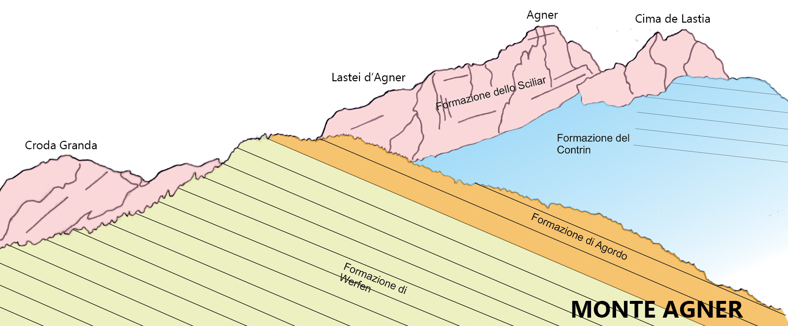
The San Lucano Valley (Valle di San Lucano) extends for 10 kilometres, passing through the core of one of the greatest dolomitic reefs. Its average depth is almost 2 kilometres and is characterised by a clearly distinguishable glacial profile.
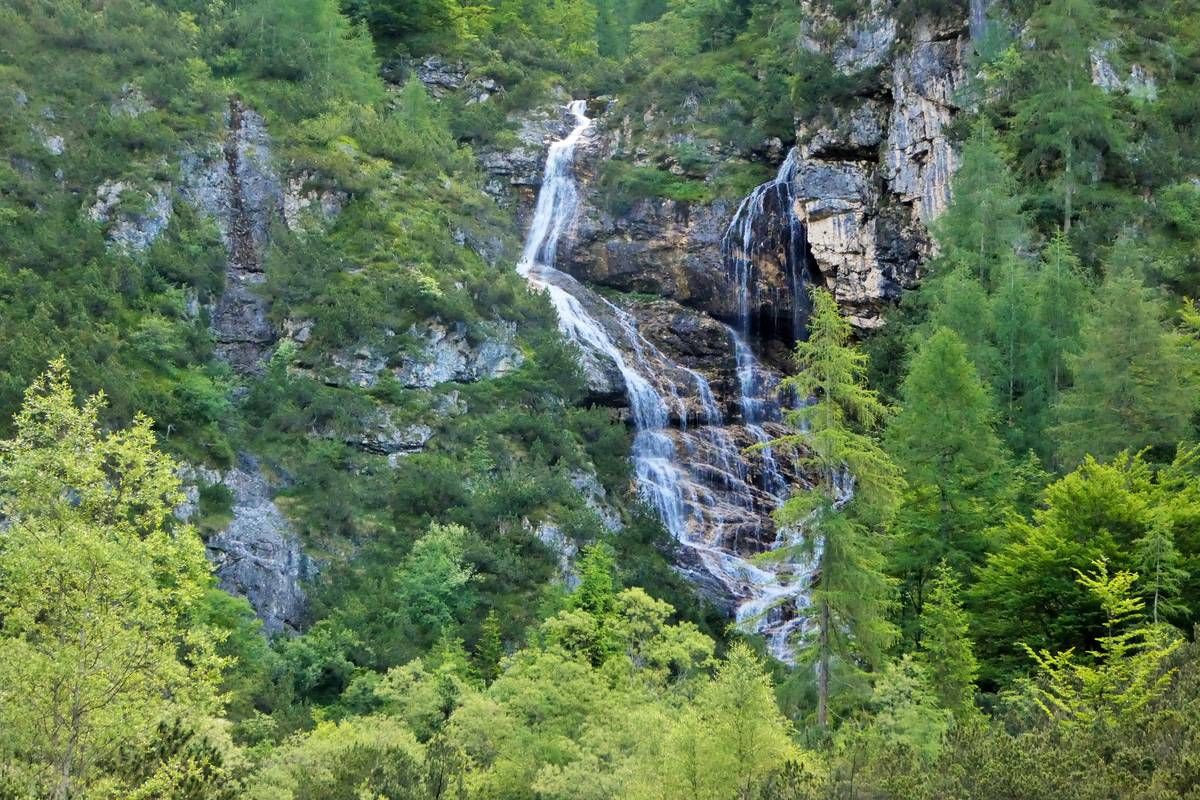
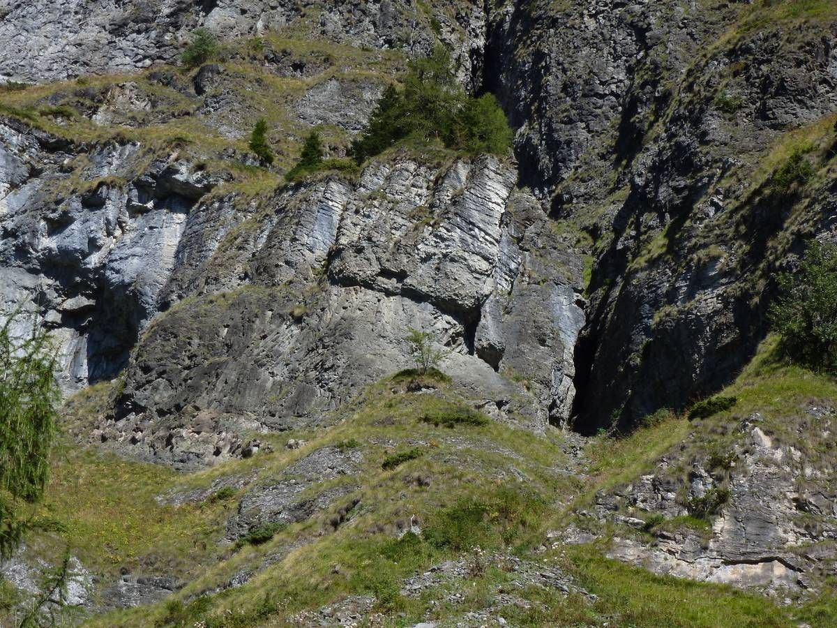
Water in its various aspects such as streams, springs, waterfalls, lakes, glacial morphology.
It develops entirely in the sub-basin of the Bordina stream, inside the outcrop area of the magmatic rocks
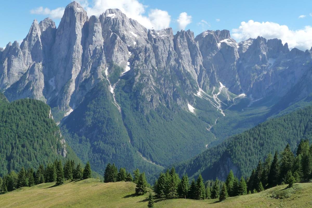
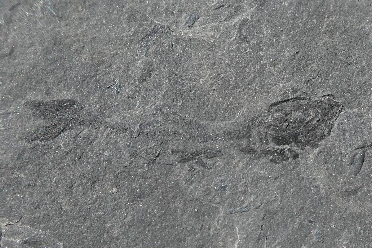
Going up the Val Corpassa up to the Pelsa lagoon, the site of very important fossiliferous finds
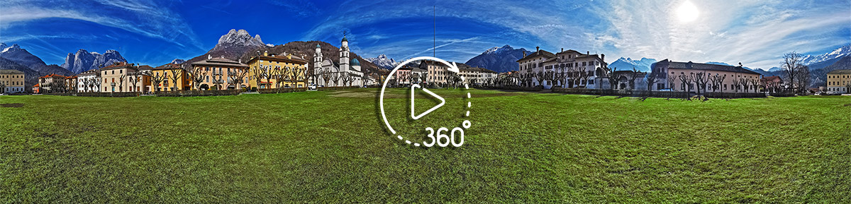 Agordo main square: parish church, town hall and Villa Crotta de Manzoni
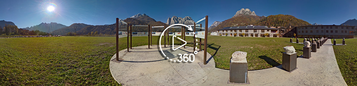 View of the Agordo mountains from Tamonich, home of the IIS Follador
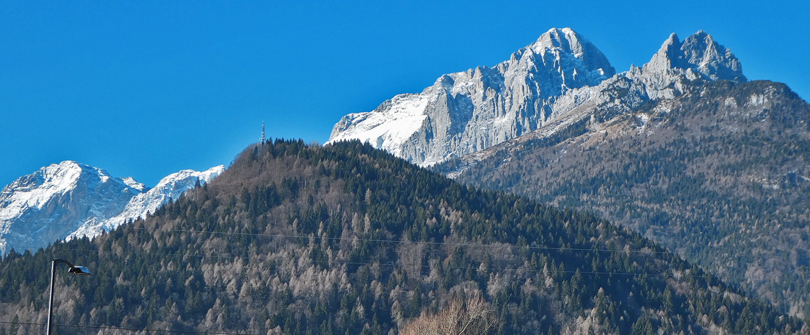
 ![]()
![]()
![]()