Dolomite rock on the Karnischen Kamm
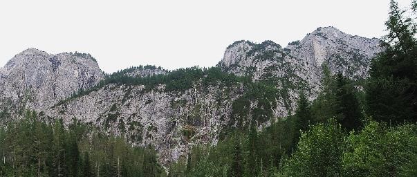
Dolomite rock on the Karnischen Kamm - the outcrop at the end of the Winklertal
BASIC INFORMATION
ACCESSIBITY: from the outside
MUNICIPALITY: Kartitsch
ADDRESS: n.a.
GEOGRAPHIC COORDINATES: 46.697385, 12.492998
PROVINCE: East Tyrol
DIRECTIONS: You can reach the outcrop near Kartitsch on the Brenner motorway A22 (exit Brixen) or via the Felbertauern coming from Kitzbühel. Drive towards Tassenbach, then turn towards Gailtal and follow the Gailtal highway (B111) to the centre of Kartitsch. From there, follow the signs until the parking lot near the sports field. From there it is a 45-minute hike along the gently sloping forest road which will take you to the end of Winklertal. At the junction, follow the signs which will lead you through the ballast bed to the waterfalls; after further 15 minutes of walking, you will reach the outcrop.
DESCRIPTION
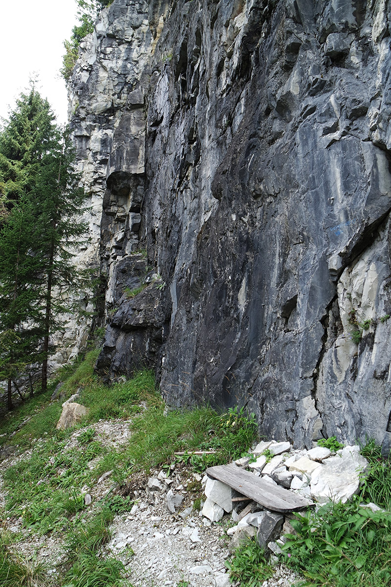
The stunning outcrop of dolomitic rocks formed 400 million years ago, could be seen near the mountaineering village of Kartitsch in Winklertal. The massive rocks belong to the Carnic Alps and extend over the entire width of the Winklertal. The extraction of white dolomite rock had no lasting success in the past, which is why only the soothing sounds of the waterfall can reach the traveller's ears nowadays.
 Freestanding rocks of the Carnic Alps made of dolomite at the end of Winklertal.


