7 The landslide of Prà and Lagunàz (812 m a.s.l.) - The chronicle of a death foretold
This is how Ottone Brentari described this location in his “Guida Storico-Alpina di Belluno – Feltre – Primiero – Agordo – Zoldo” from 1887:
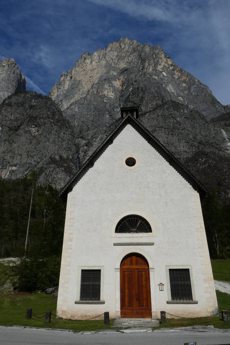
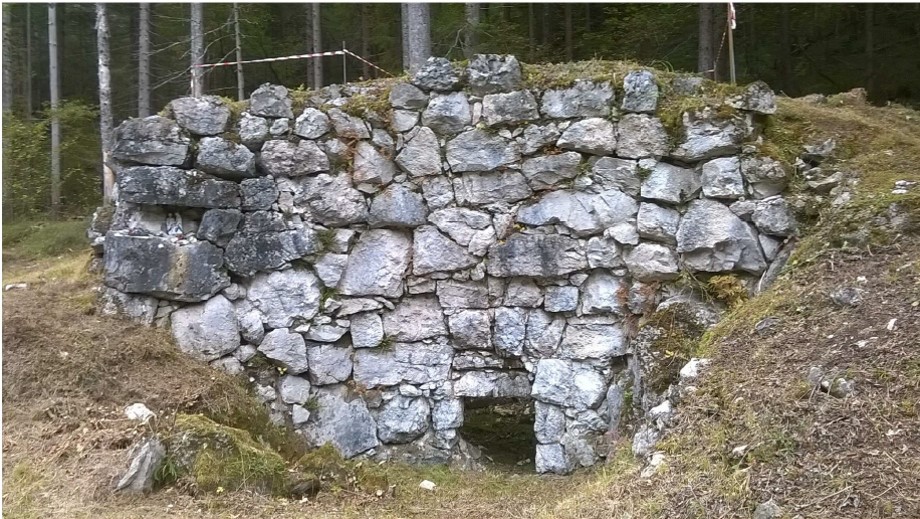
“Lagunàz is a delightful bundle of half a dozen cabins on the banks of the stream; it is surrounded by meadows with scattered cherry trees and huddles right under the imposing crack inside the walls of the Pale. The road finishes at Prà and represents a row of houses under the rock. The fields and the meadows that grow corn, beans, rye and potatoes have been ruined for the most part by the flood of 1882. There is a tiny church with a room attached that is used as a school. The village pub serves wine and brandy."
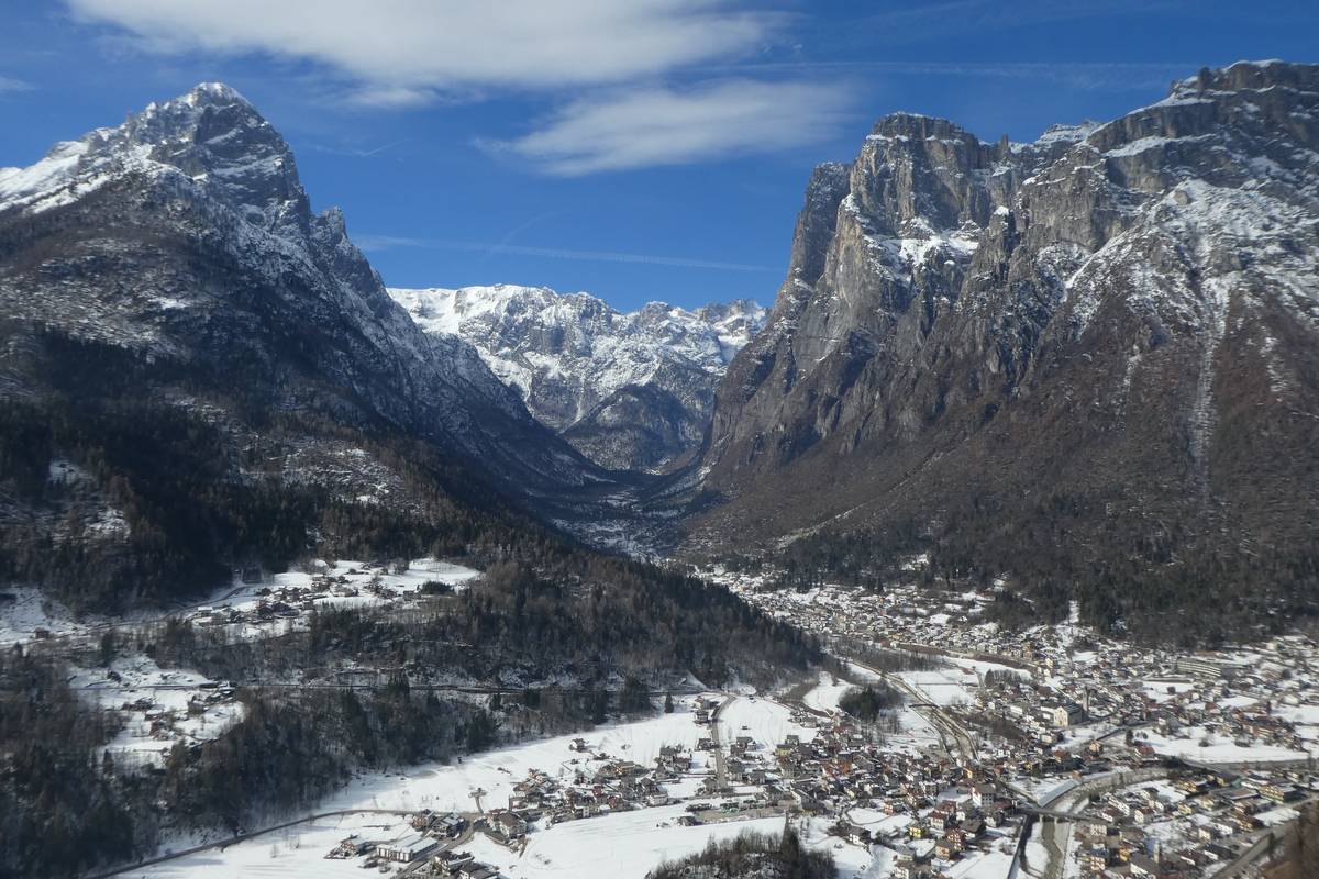
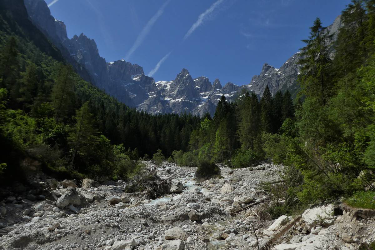
The picture painted in our mind's eye is completely different from the situation now largely because of two occurrences. The most important event is certainly the landslide that fell in the night between the 2nd and the 3rd of December 1908 from Quarta Pala di San Lucano and to be more precise, from Pizet at an altitude of approximately 2100 metres. The rocky mass plunged 1300 metres into the valley floor and swept away the hamlets. The second and more subtle phenomenon is the exodus from the mountain and the abandonment of the subsistence agriculture practiced in the Dolomite valleys.
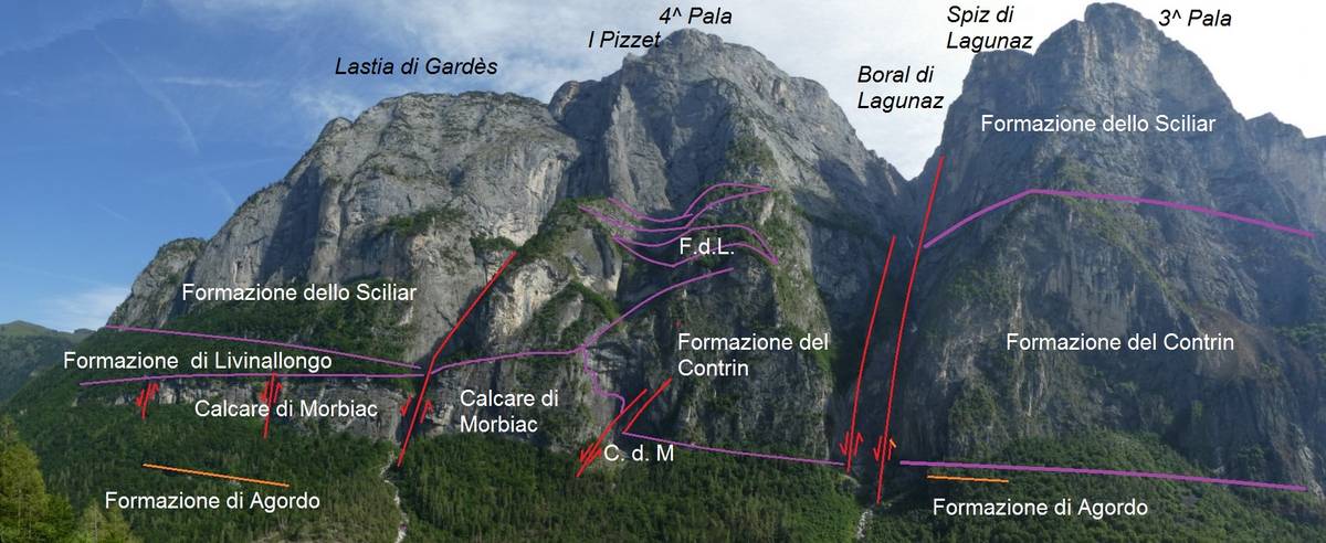
The landslide of Prà and Lagunàz is characterised by a special and poignant history. Several Viennese geologists studied the Pala-Group of San Lucano in the mid-1800s, when Agordino was still part of the Kingdom of Lombardy-Venetia; they identified an open fissure that ran parallel to the slope, which at the time was represented as Cime di Ambrosogn on the maps (now PIzet).
The inhabitants of the valley were forewarned about the imminent danger and the authorities ordered their relocation to Listolade, near Roch de Buos, at the foot of Mount Framont. The villagers decided against the move, however, especially when, on May 11, 1865, a landslide from Lastia del Framont collapsed in the vicinity of the very spot chosen as their new home, causing two victims.
With the arrival of the Kingdom of Italy with its “usual geological sensibility”, with which our ruling class was distinguished, the potential danger of a landslide was forgotten and the inhabitants of the valley continued with their daily lives until that tragic night, when part of the overhanging pillar of Pizzet detached suddenly; the pillar appeared to be solid and was composed of Schlern Dolomite - in reality it was crisscrossed by faults and fractures. A rocky mass of approx. 200000 cubic metres collapsed and hit the rocky ridge situated to the east of Van del Pez; it then split in two parts and the shattered material plummeted towards the two hamlets, causing 28 victims.
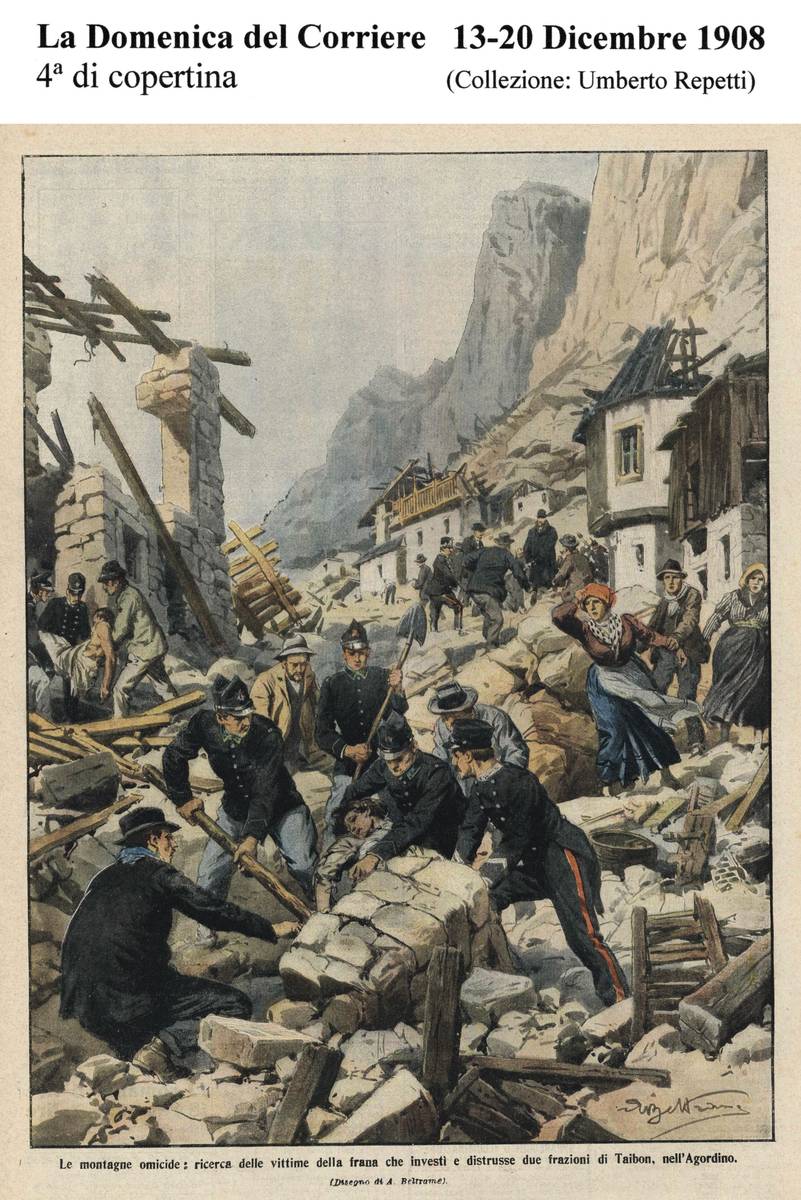 Back cover of Domenica del Corriere, 13-20 December, 1908 where the tragedy of Prà and Lagunàz was depicted by Achille Beltrame in watercolour (Umberto Repetti collection).
")
")
")