")
")
")


Project description
The “Follador-De Rossi” Institute of Agordo (BL) is the Lead Partner of the project “DOLOMIA. The Dolomia Road: a Rock’s Journey through the Dolomites – ITAT 2036” financed by European Regional Development Fund (ERDF) and Interreg V-A Italy-Austria 2014-2020.
The period of the project was initially of 29 months, from 30th January 2018 to 30th June 2020. The project has been extended until 31st December 2020.
Partner
The project partners are:
LP Istituto di Istruzione Superiore "U. Follador - A. De Rossi"
PP1 Università di Innsbruck
PP2 Circolo Cultura e Stampa Bellunese
Project activities
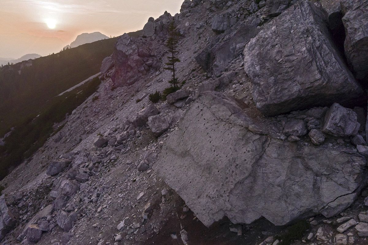
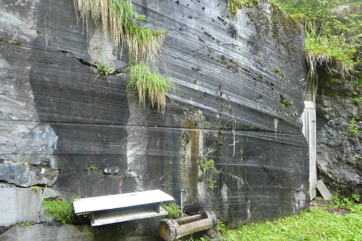
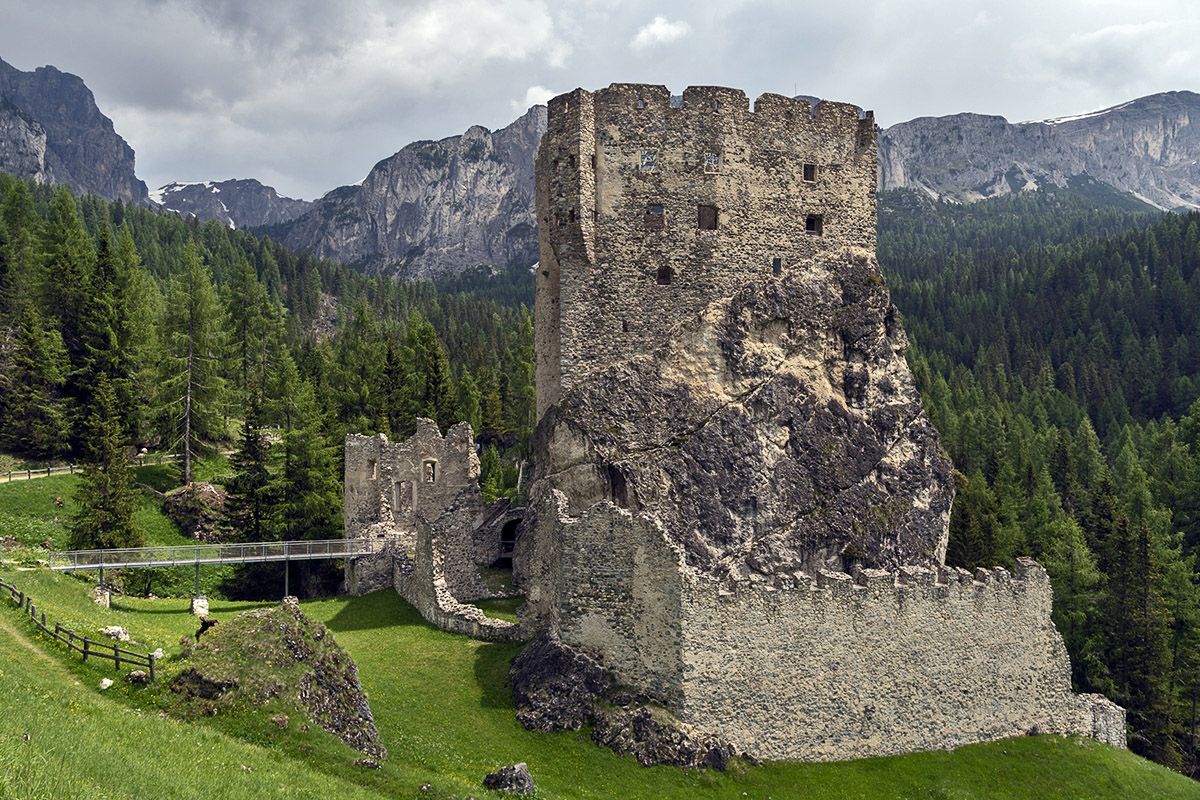
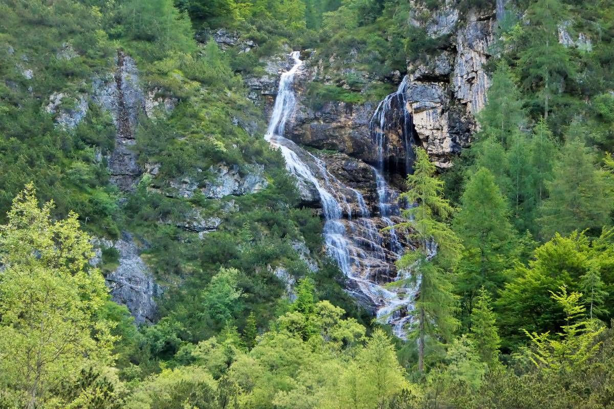
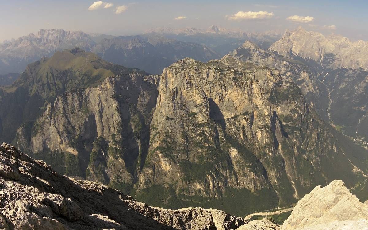
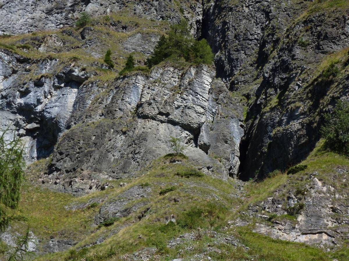
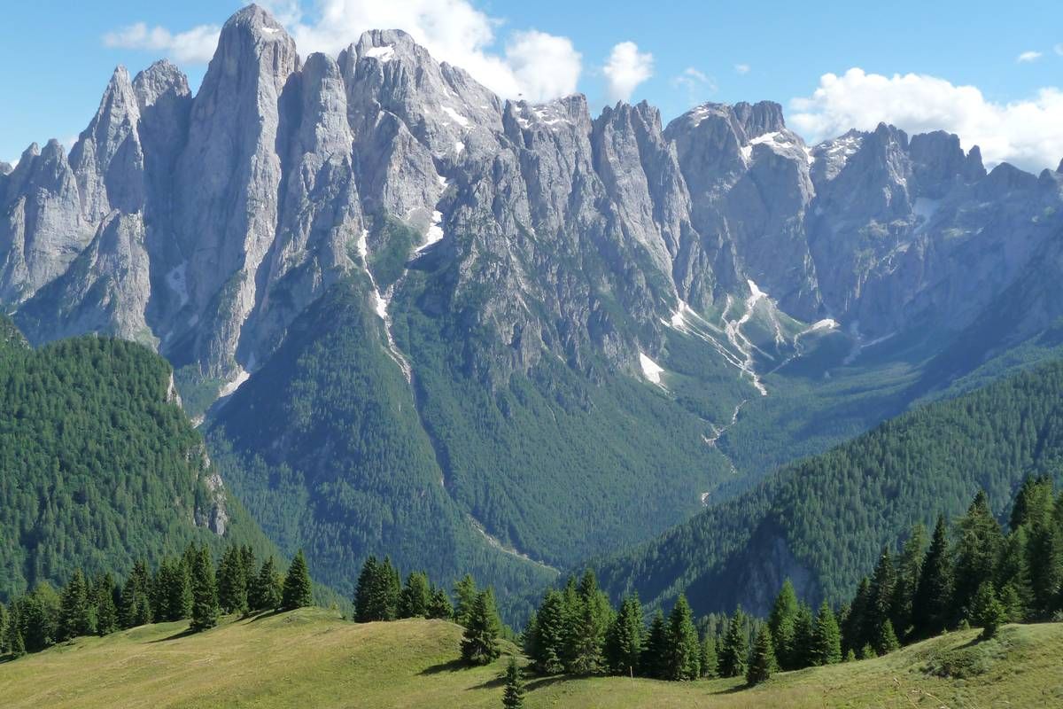
The project has been designed to enhance the Dolomite material by promoting its knowledge and shared and conscious use through the identification and linkage of geosites present in the project area, geological analysis of this rock, mapping of quarries, its past and present methods of extraction and Processing, conducting a census of the sites of interest where it was used, the identification of sites where pilot projects of analysis and analysis of restorative conservation of artefacts made with Dolomia, its present day’s utilization, the creation of an ecosustainable interregional geo-tourism path, the cross-border exchange of good practices of analysis and sustainable exploitation of the good stone.
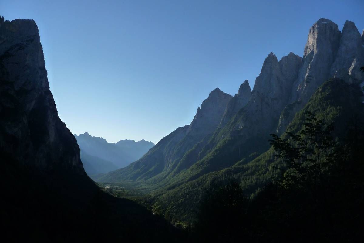
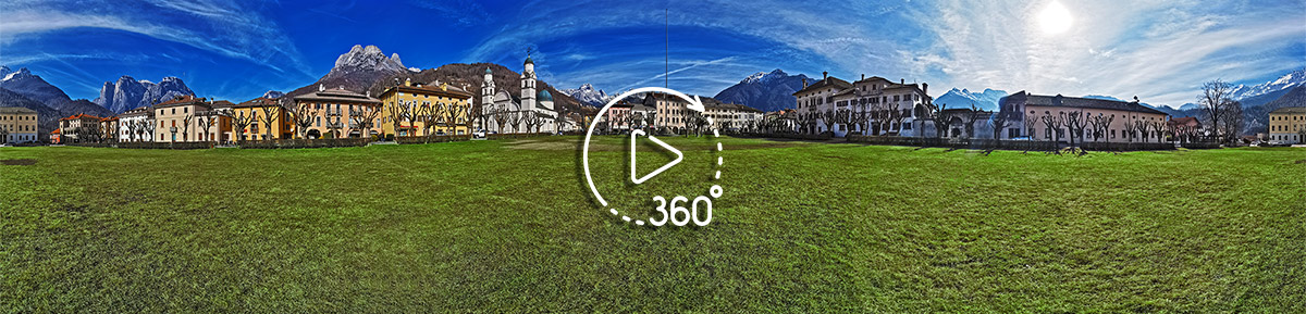
The project is closely linked to the area of the Province of Belluno where the Dolomites are declared in 2009 the UNESCO World Heritage Site and the area of Tyrol, of Dolomitic rocks of Belluno. The valorisation of this common environmental and cultural heritage is to be the key to sustainable regional development, also at tourist level, which considers mountains as the natural link between the two areas and as a moment of encounter between the way of high education and the World of stone professionals.
The project produced these outputs:
- implementation of the web site www.openalpmaps.it/progettodolomia;
- creation of a guide and maps of the tourist route dedicated to the Dolomite;
- creation of the technical-scientific publication dedicated to the Dolomite;
- the census of the sites of geological-mineralogical interest in the province of Belluno and the area of Innsbruck linked to the Dolomite; the census of the sites of historical, artistic and architectural interest in the province of Belluno and the area of Innsbruck linked to the Dolomites;
- the identification of the geological itineraries included in the Agordo-Innsbruck geotourism route;
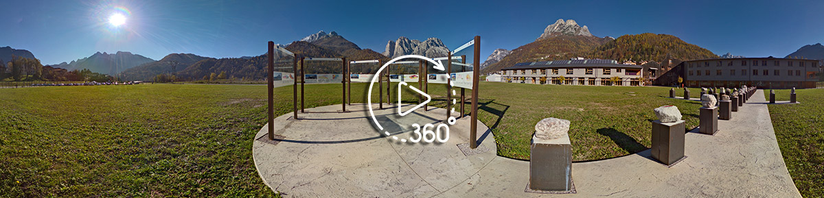
- the design of a geotourist station;
- photographic and drone survey of sites and construction of virtual reality in 3D;
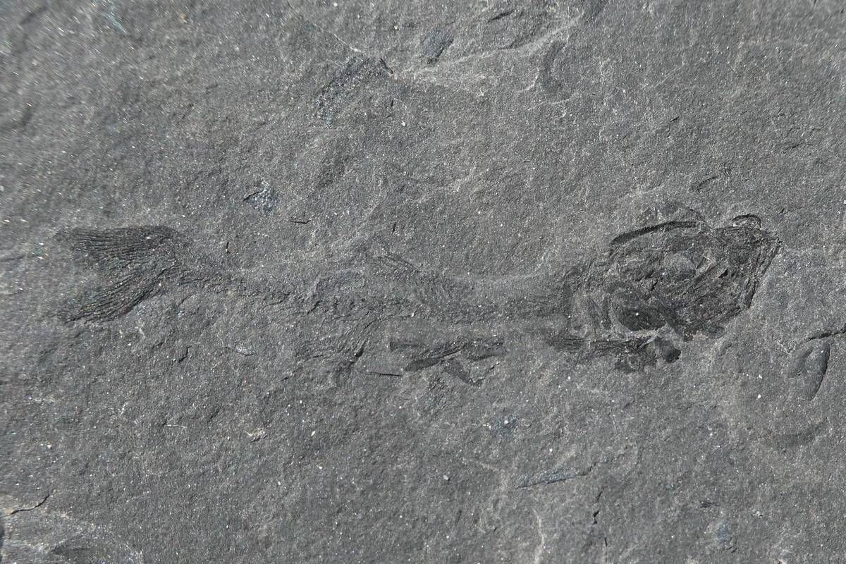
- sampling of local Dolomite and physico-chemical and mineralogical analyzes with XRF equipment.
The project will give the area between the UNESCO World Heritage Dolomites and the Tyrolean Alps the opportunity to be rediscovered by its inhabitants and to be explored in a guided and eco-sustainable way by tourists, covering its history from the formation of the area at a geological level, through the use of the territory by man with reference to the Dolomia stone material. In this way we want to bring to light the close connection that has united the two territories for millions of years, making it clear that the mountains are not an element of separation but of union and that they should not be seen as a problematic area but as a particularly rich and heterogeneous enhanced through the creation of a reticular path that connects the points of interest linked to the “Dolomia” theme of the two territories.
Period
Period: 01/2018-12/2020
Start date: 01-01-2018
End date: 31-12-2020
Budget
Total budget: EUR 750.764, Financial support from European Regional Development Fund (ERDF) EUR 637.204
Funding program
Financed by European Regional Development Fund (ERDF) and Interreg V-A Italy-Austria 2014-2020